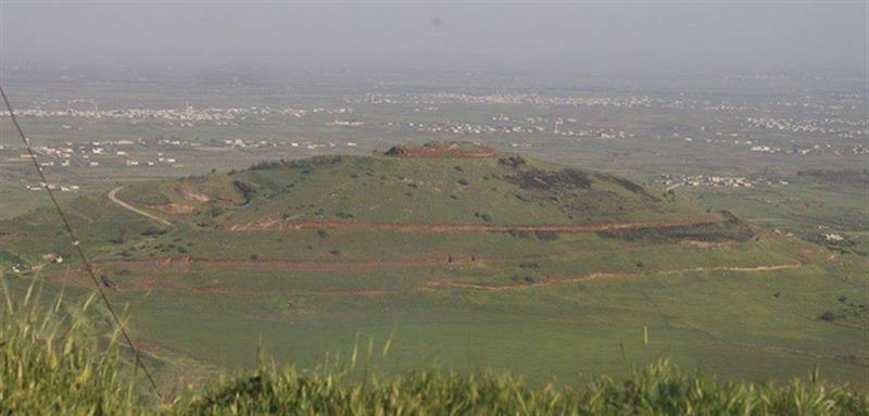
The US has for the first time published a map showing the Golan Heights as part of the Zionist entity three weeks after President Donald Trump recognized the so-called ‘Israeli sovereignty’ over the Syrian plateau.
US Mideast envoy Jason Greenblatt tweeted a picture of the map on Tuesday, saying: “Welcome to the newest addition of our international maps system.”
The map shows the 1974 ceasefire line between the Israeli regime and Syria as a permanent border, whereas the border with Lebanon continues to be demarcated as the 1949 armistice line.
The map also notes that the West Bank is Israeli-occupied, with its final status to be determined in peace talks.
And it notes that while the US recognized Al-Quds (Jerusalem) as the capital of the Zionist regime in 2017, it does not take a position on the boundaries of the holy city.
Source: Agencies


